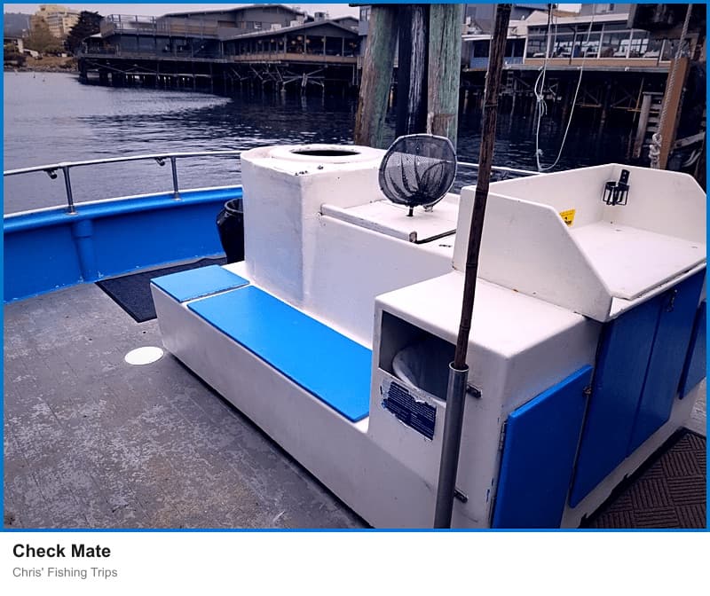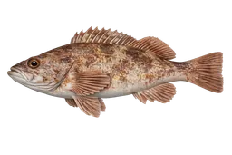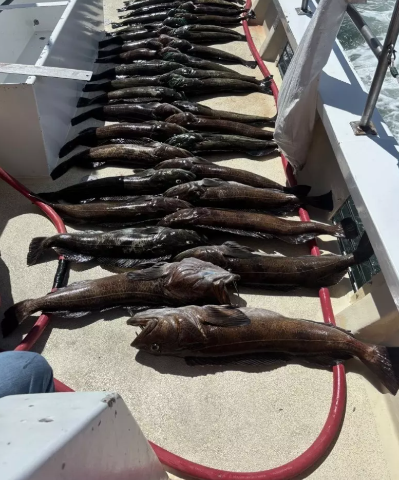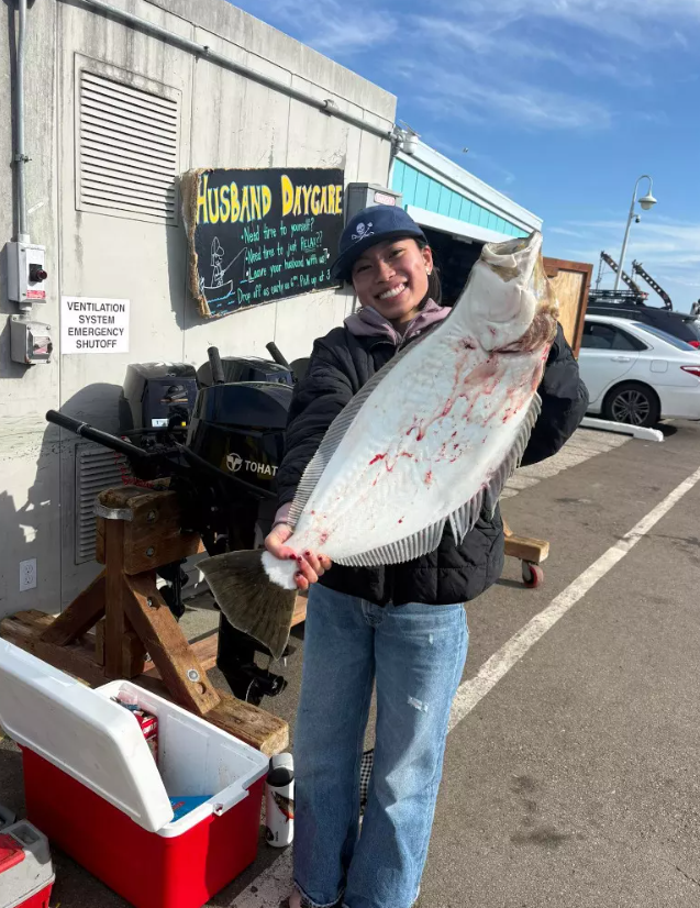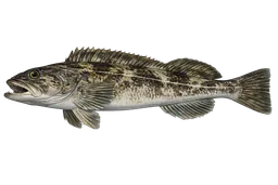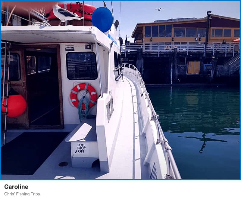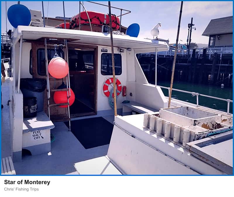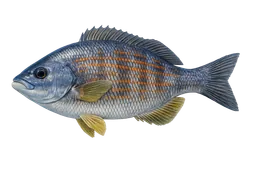

Monterey is cold-water NorCal fishing country. The harbor sits at the southern end of Monterey Bay, 75 miles south of San Francisco, and the trip menu reads like the inverse of San Diego: king salmon (seasonal), rockfish, lingcod, halibut, Dungeness crab, sand dabs, and petrale sole — not tuna, not yellowtail. What makes the fishery work is geography. Monterey Canyon begins in the middle of the bay and drops to 11,800 feet at its mouth, with walls a full mile tall, so deep-water species sit within a short run of the wharf.
The harbor
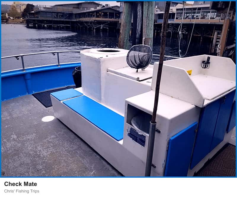
Fishing built the waterfront. Thomas Larkin constructed what became Old Fisherman's Wharf in 1845 for passenger and freight service, and the City of Monterey purchased the pier in 1916 and expanded it to handle the growing sardine industry. Several large sardine canneries operated from the 1920s into the 1950s, "when the sardines were overfished and the industry collapsed." After World War II the wharf converted to a tourist-oriented operation, and sport charters replaced the commercial fleet as the wharf's primary on-water business.
Grounds
Deep water close to shore is the local advantage. The Monterey Canyon system "rivals the depth of the Grand Canyon itself," and the canyon's deep edges put rockfish, lingcod, halibut, sand dabs, and petrale sole within range of half- and full-day trips. King salmon runs seasonally with a 24-inch minimum. Dungeness crab is layered onto rockfish trips as a combo. Point Pinos marks the peninsula's westernmost tip and anchors the rocky structure that holds the close-in lingcod and rockfish grounds.
Regulations
Four marine protected areas ring the southern bay and together cover 2.96 square miles. Lovers Point–Julia Platt SMR (0.30 sq mi, established September 2007) and Asilomar SMR (1.51 sq mi) prohibit take of all marine resources. Pacific Grove Marine Gardens SMCA (0.98 sq mi) allows recreational finfish, and Edward F. Ricketts SMCA (0.22 sq mi, running from the Coast Guard Jetty to the Monterey Bay Aquarium) allows recreational hook-and-line finfish only. Charter boats running out of the wharf fish outside the closure zones.
Getting there
Highway 1 and Highway 68 are the two access routes into town. Average high temperatures run 58°F in December to 68°F in September, with roughly 17 inches of annual rainfall concentrated October through April — a cool, foggy fishery year-round.