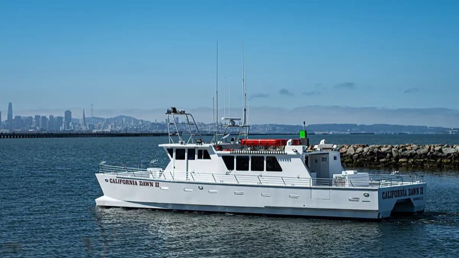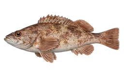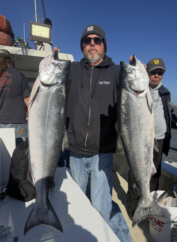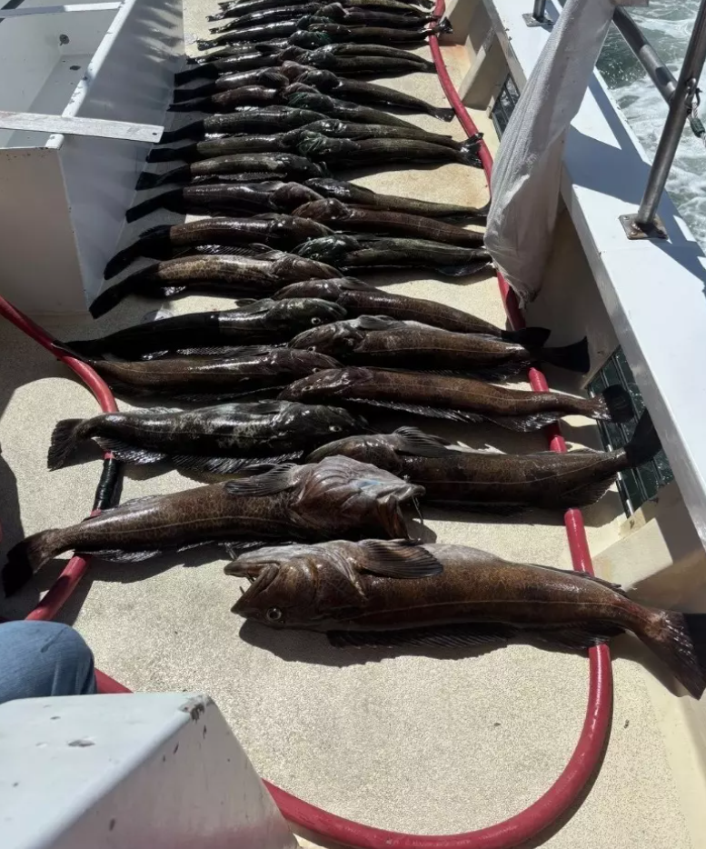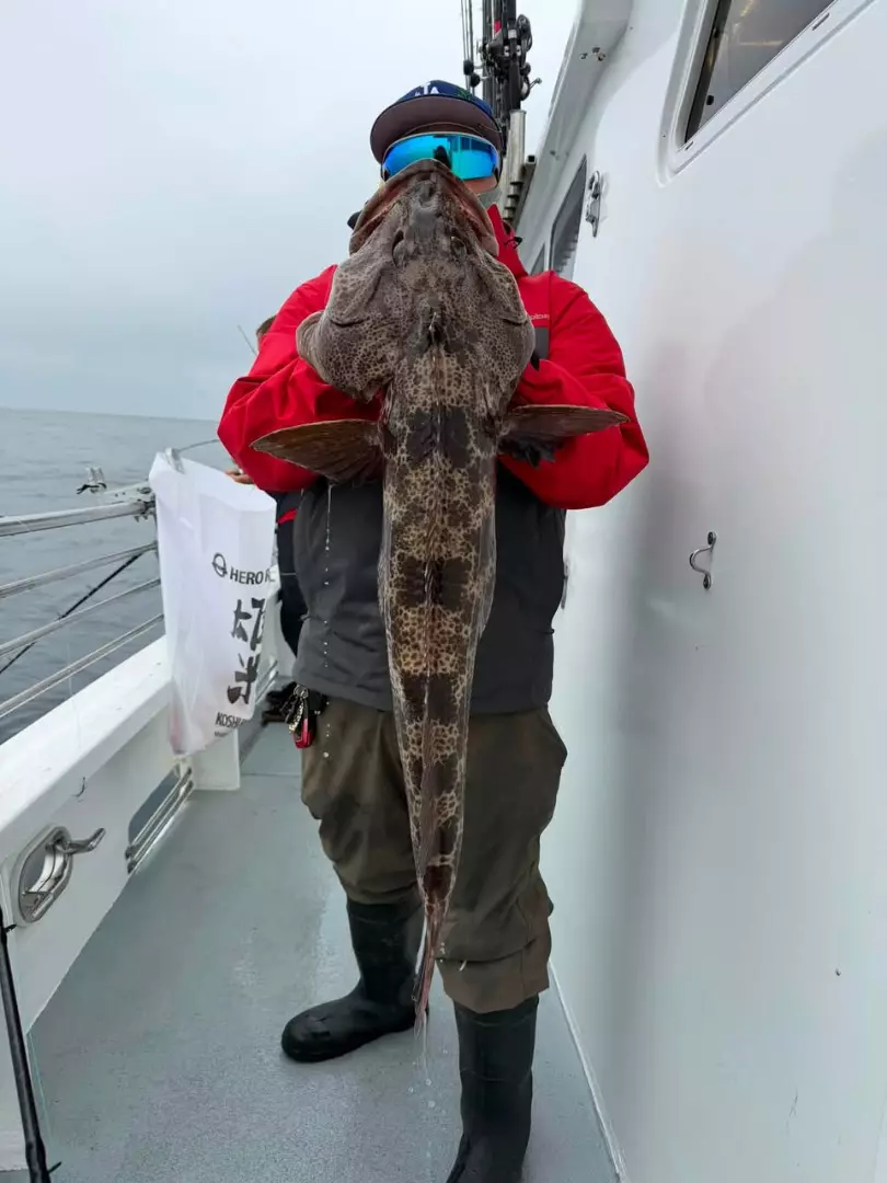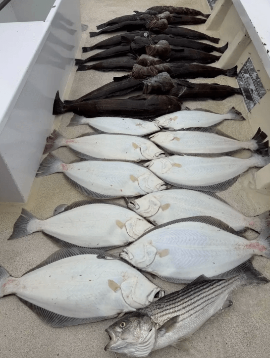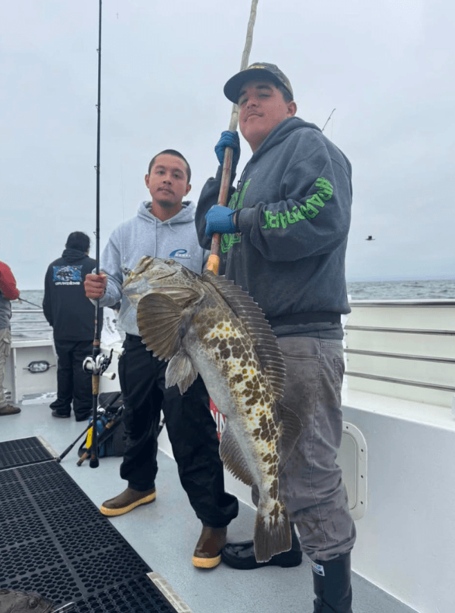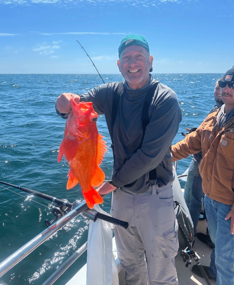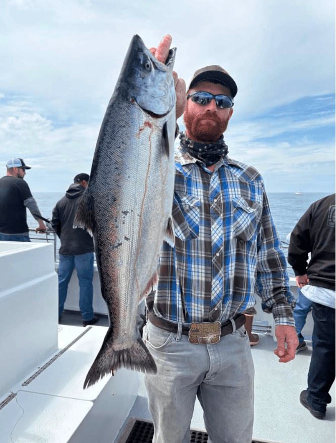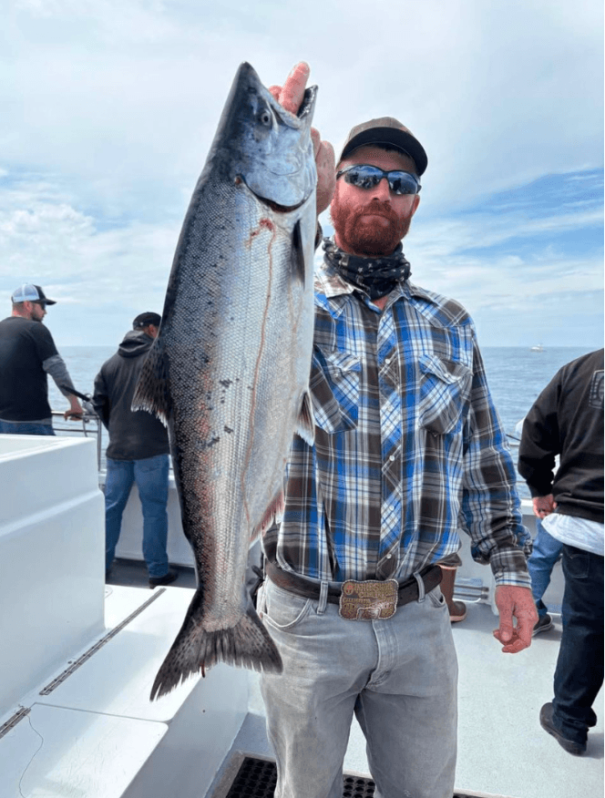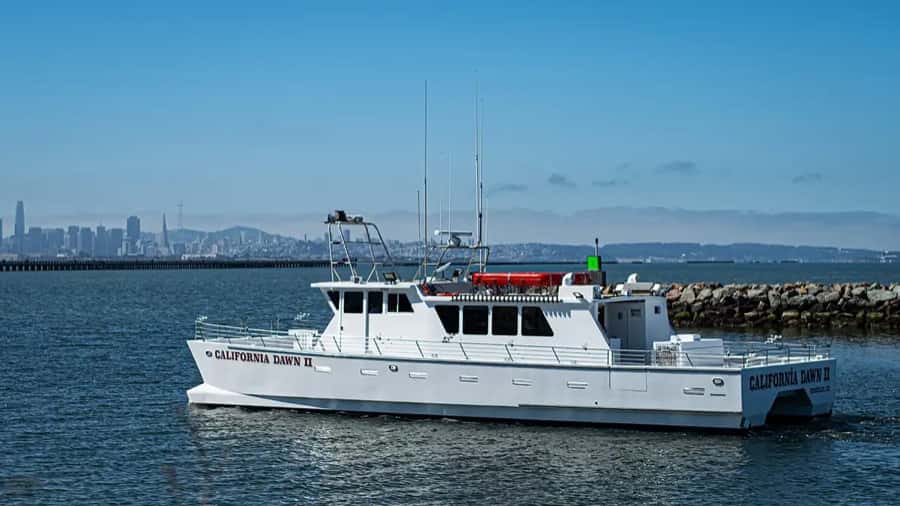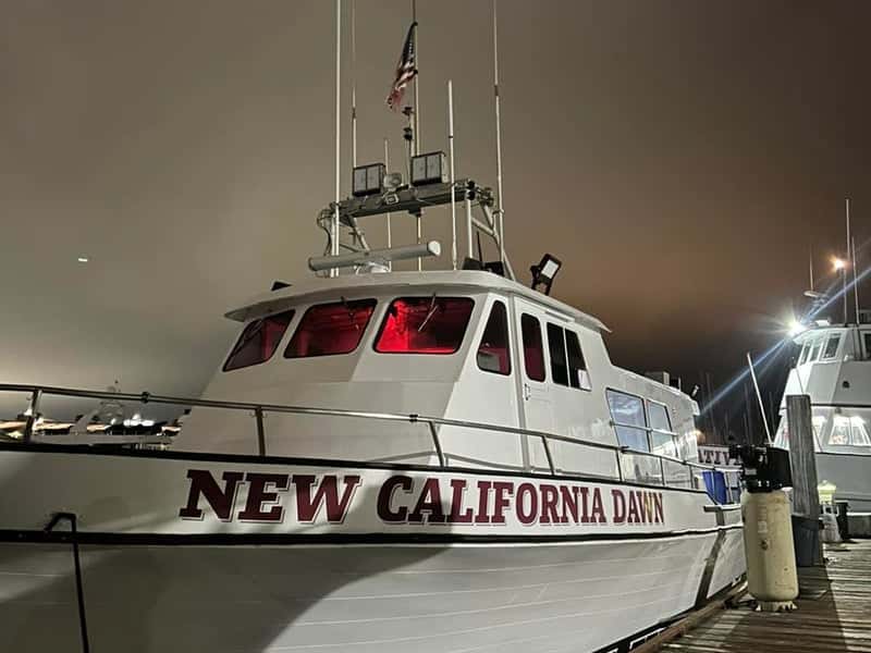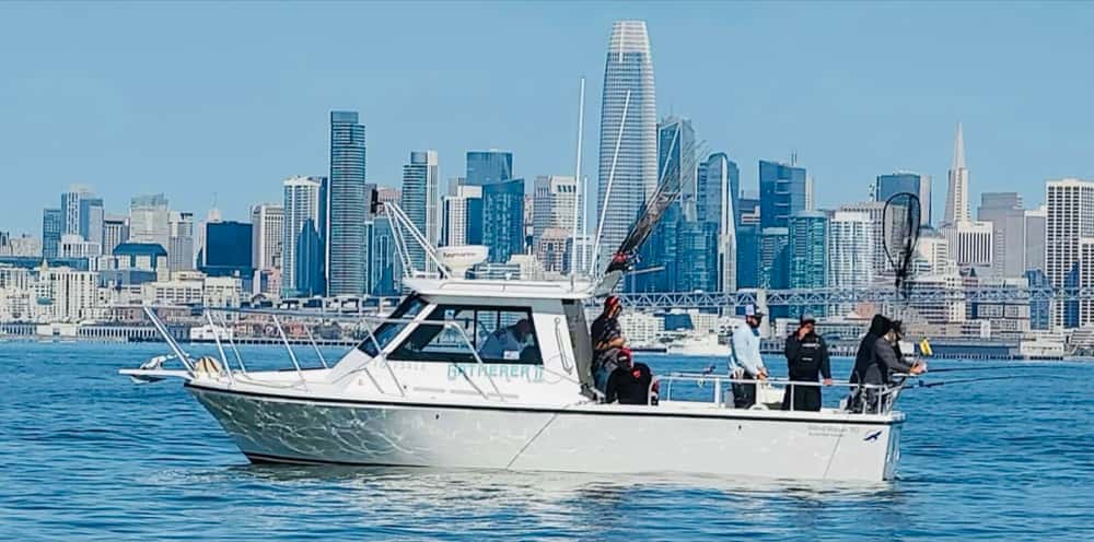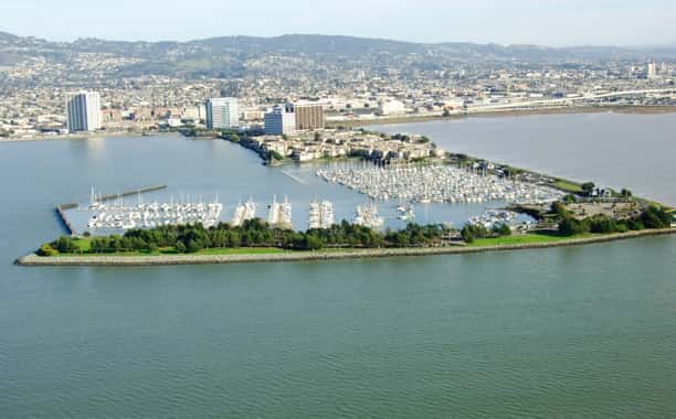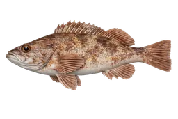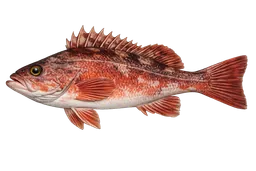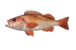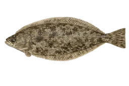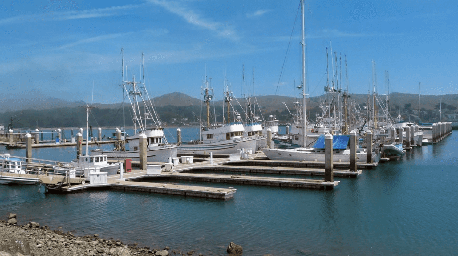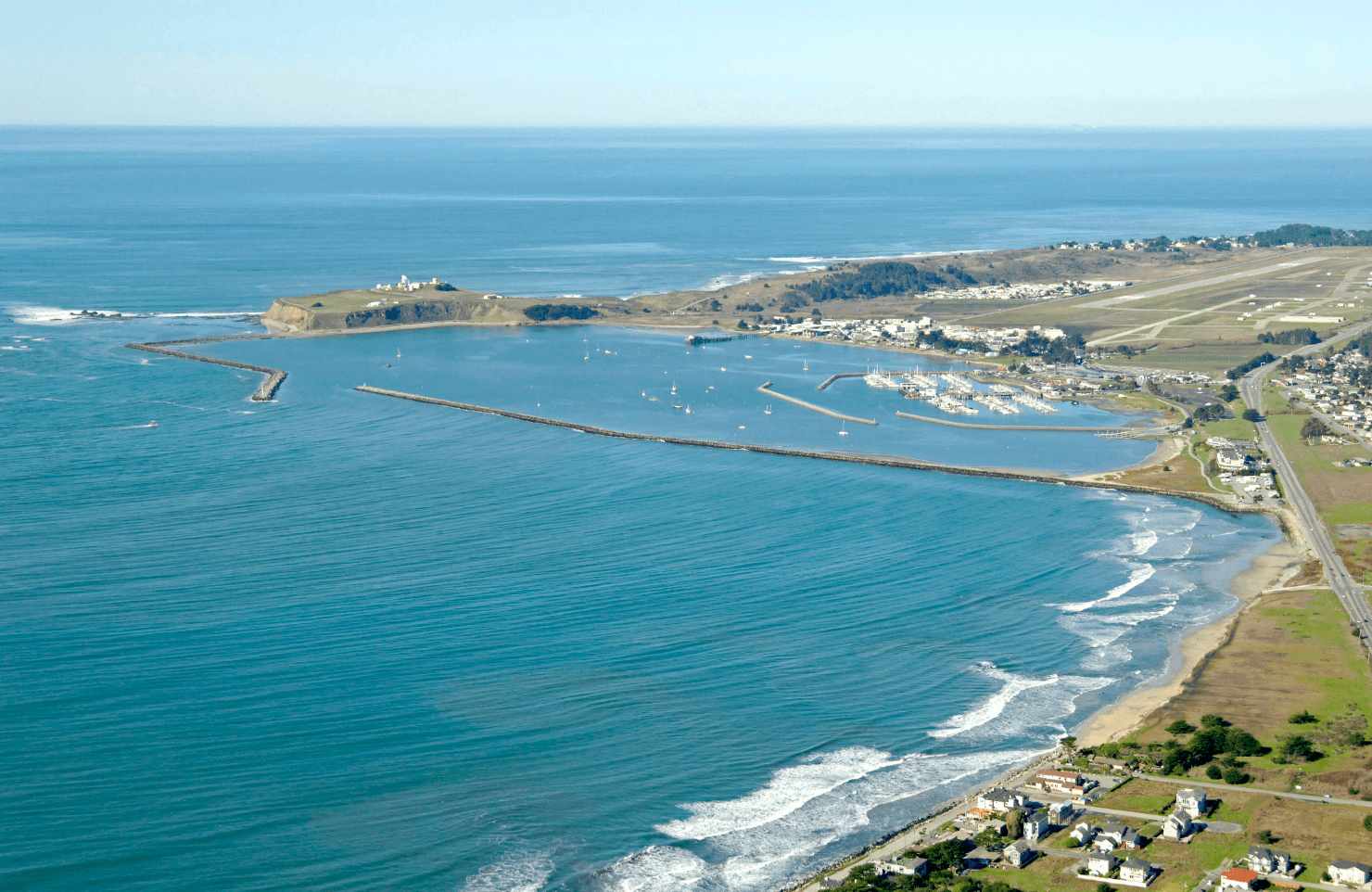

Berkeley is San Francisco Bay halibut, striped bass, and salmon water. The fleet works out of Berkeley Marina on the eastern shore of the Bay, drifting the Berkeley Flats and the Richmond–San Rafael Bridge for halibut and stripers inside the Gate, then running outside for salmon, rockfish, lingcod, and Dungeness crab when conditions allow. Trips run from half-day Bay potlucks to full-day Farallon Islands runs.
The harbor
The marina was built as the Berkeley Yacht Harbor in the late 1930s by the Works Progress Administration, two decades after the original municipal wharf went up at the foot of University Avenue in 1909. The adjacent Berkeley Pier — built in 1926 and originally extending 3.5 miles into the Bay as the Golden Gate Ferry Company auto-ferry terminal — was converted to a public fishing pier after the ferries shut down in 1937. The pier has been closed for structural reasons since July 2015. State funding of $15 million was secured in July 2022, but no firm repair plan is in place. Charter operations from Berkeley Marina were never affected.
Grounds
Inside the Bay, captains drift the Berkeley Flats and work structure around the Richmond–San Rafael Bridge for California halibut and striped bass. Outside the Golden Gate, the Potato Patch Shoal sits immediately west of the bar — the northernmost section of the San Francisco Bar and a productive offshore ground when swell allows. The Farallon Islands lie 30 miles west of the Gate, roughly a 2.5-hour run from the marina, and produce rockfish, lingcod, and Dungeness crab inside the Greater Farallones National Marine Sanctuary.
Regulations
The Bay sits within state waters and runs under CDFW seasons and limits — striped bass year-round, California halibut year-round with size and bag limits, salmon under the annual PFMC season window, and Dungeness crab on the recreational opener (typically early November). Outside the Gate, the Greater Farallones National Marine Sanctuary surrounds the islands; recreational fishing is permitted under CDFW rules with sanctuary-specific protections on takes of marine mammals and seabird disturbance. Most rockfish work happens in season at depth-restricted zones set annually by CDFW.
Getting there
Berkeley sits at the eastern shore of the Bay along Interstate 80 and Interstate 580 — the Eastshore Freeway runs the waterfront and feeds directly to the marina at the foot of University Avenue. Climate is mild year-round: warm dry summers, cool wet winters, and about 25 inches of annual rainfall concentrated November through March.