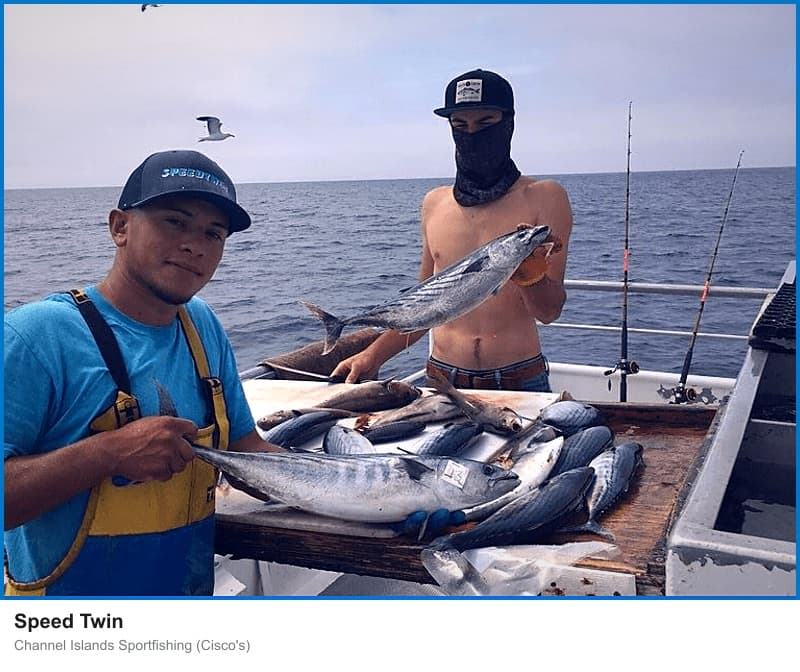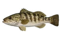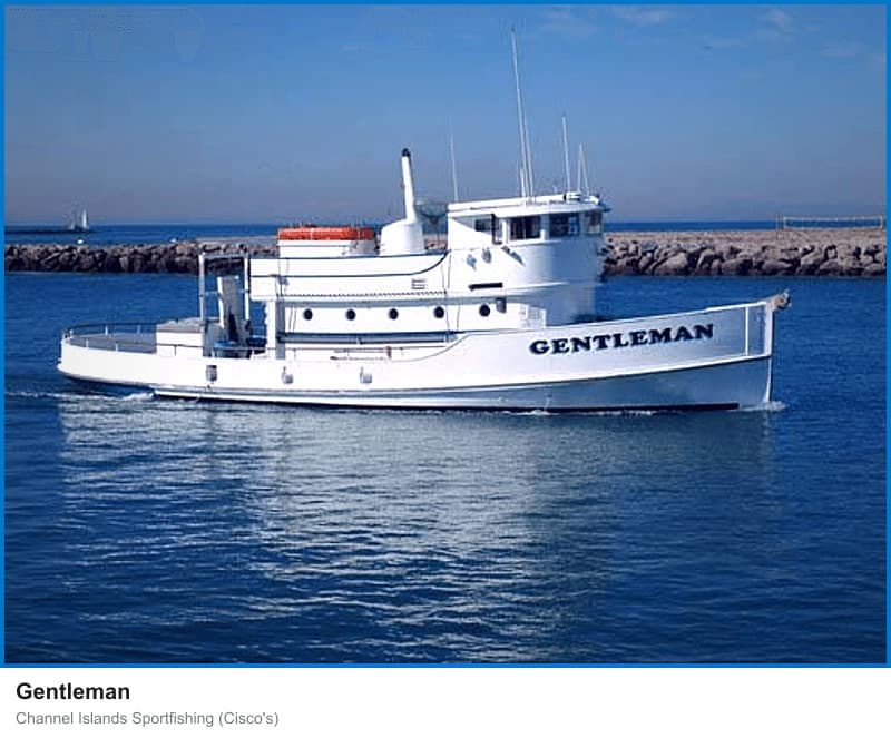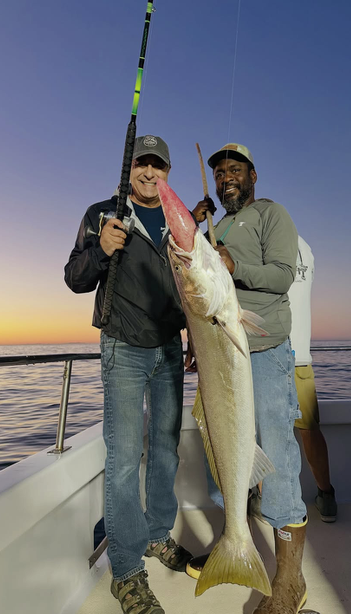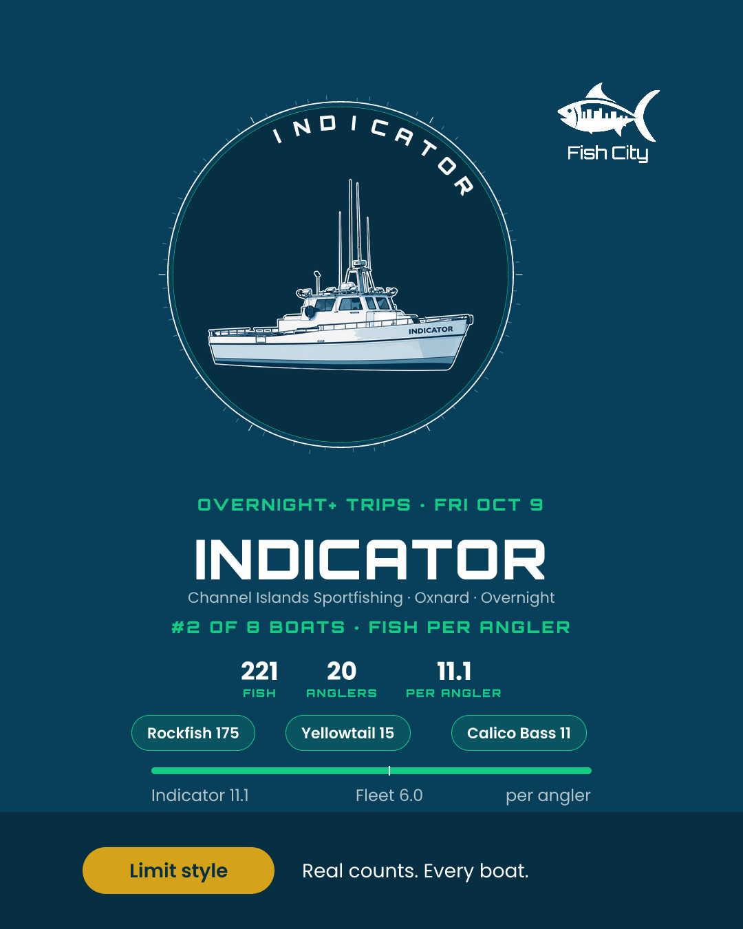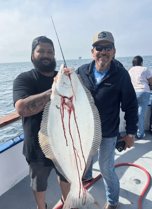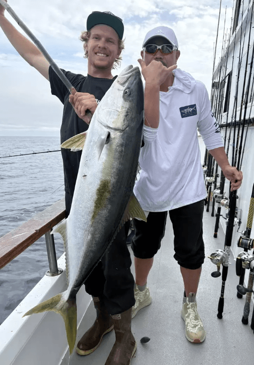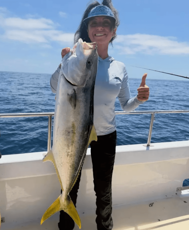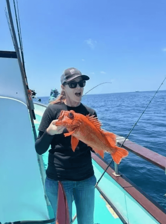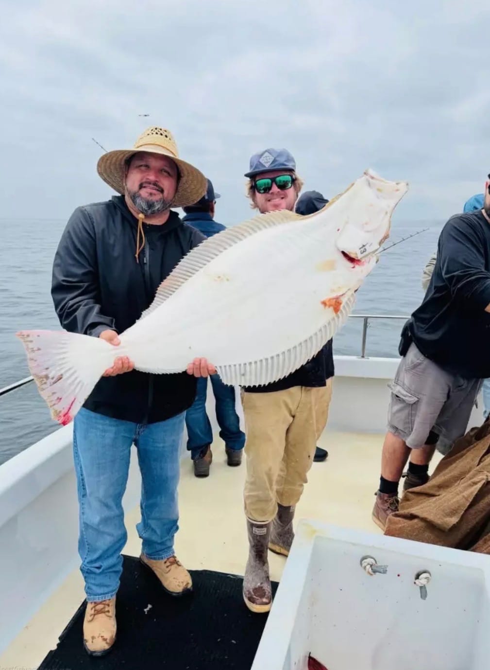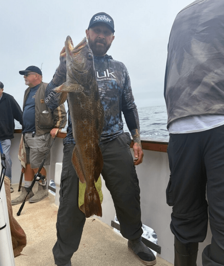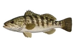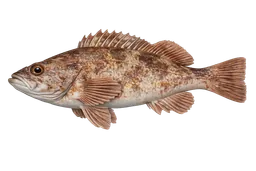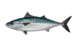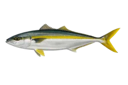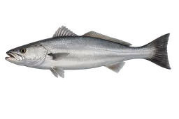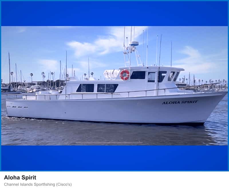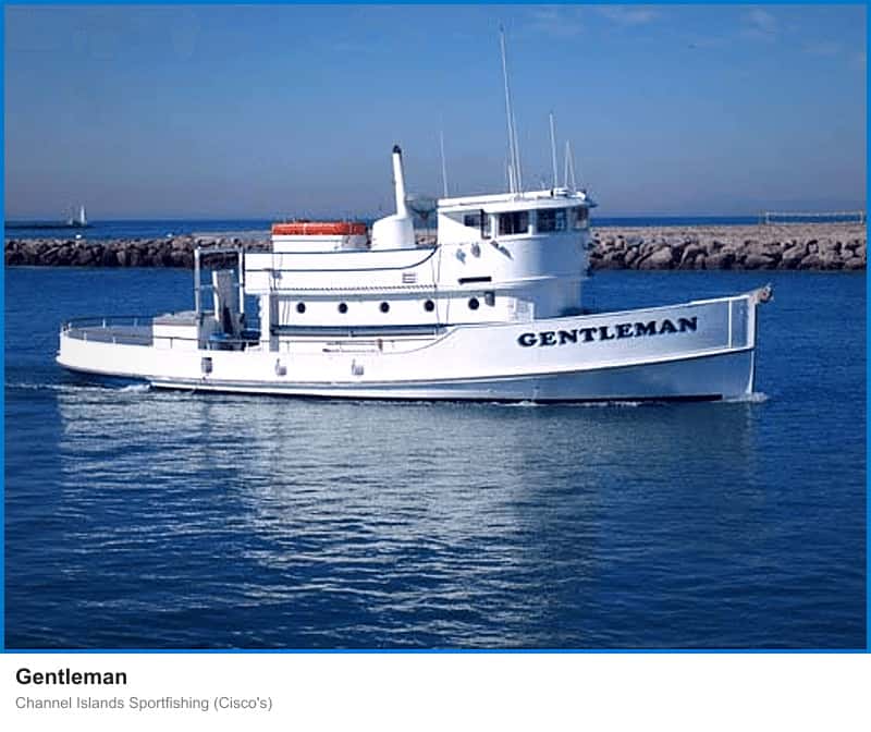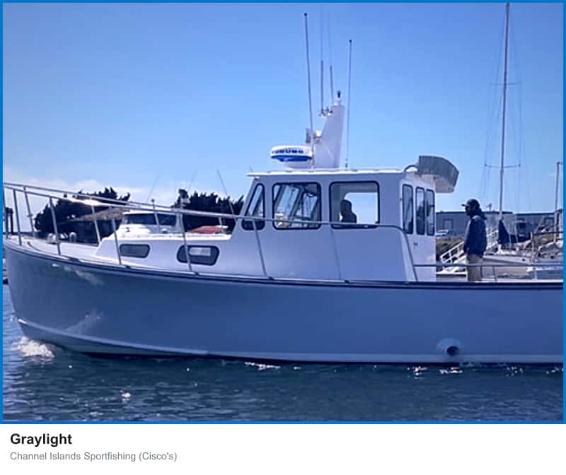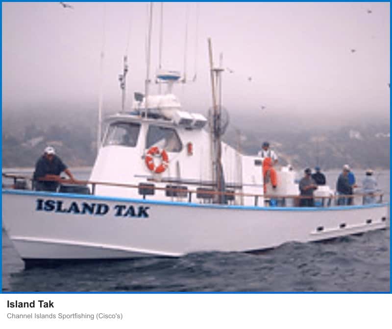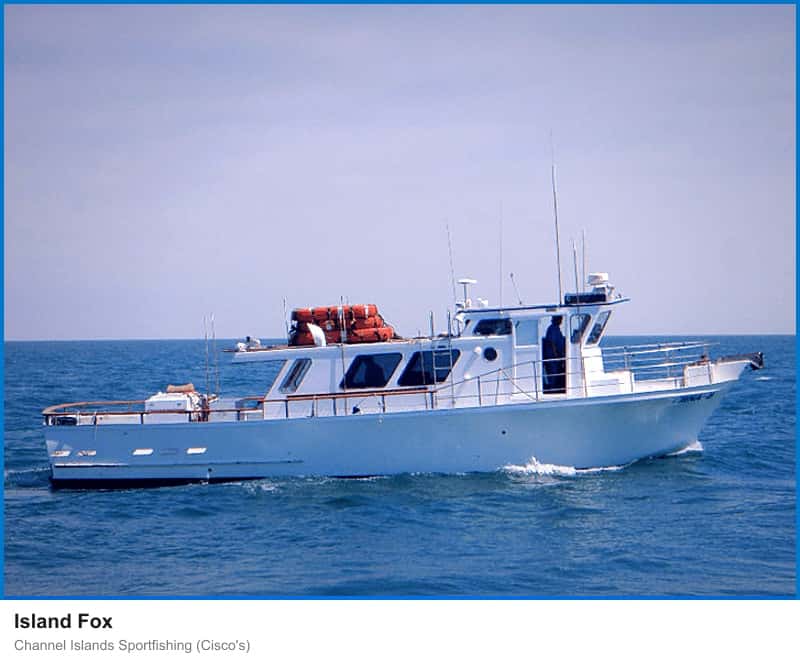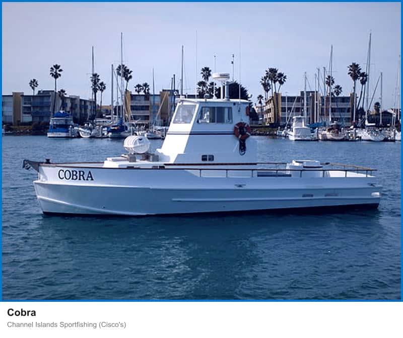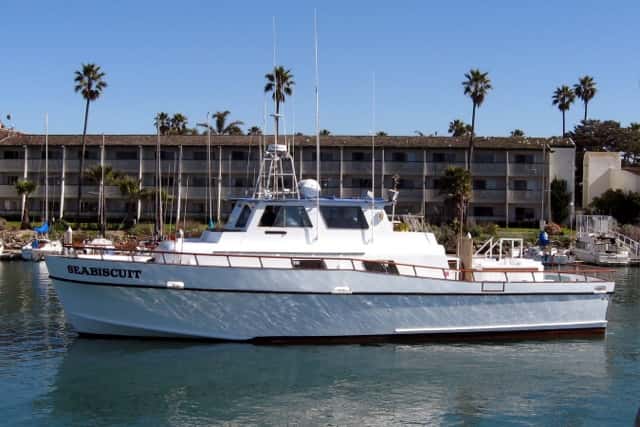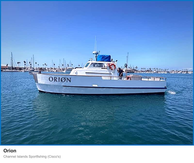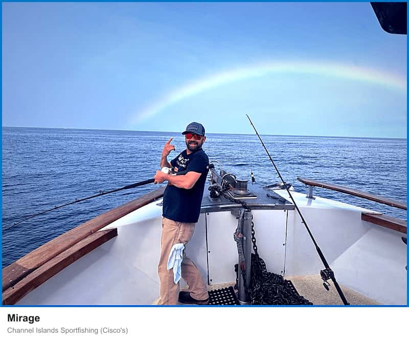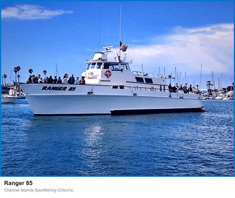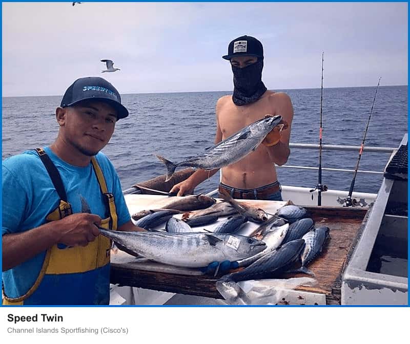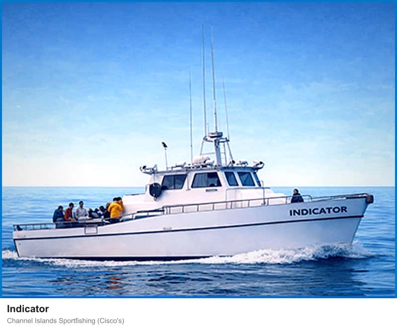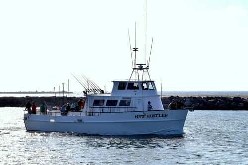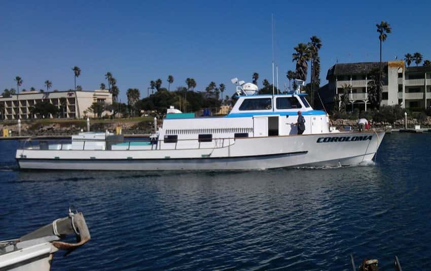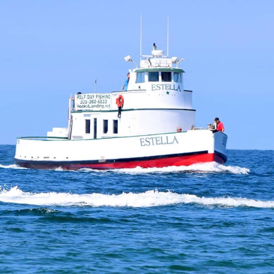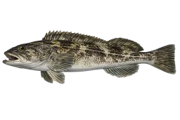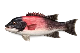

Oxnard is the springboard for the Channel Islands. Channel Islands Harbor sits closer to the islands than any other SoCal port — Anacapa is roughly 11 miles off Port Hueneme — and the local fleet runs day trips on calico, rockfish, sheephead, and lingcod, plus overnight and multi-day trips out to Santa Rosa, San Miguel, and San Nicolas for yellowtail and white seabass. Two landings work the harbor: Channel Islands Sportfishing (Cisco's) and Hook's Landing.
The harbor
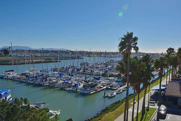
The fishing story runs through Channel Islands Harbor, cut from sand dunes and wetlands by the U.S. Army Corps of Engineers in 1960. The horseshoe basin holds 166 acres of water, 126 acres of land, and more than 2,500 vessels across 2,150 berths. It shares the "Gateway to the Channel Islands" tagline with neighboring Ventura Harbor, but sits closer in to the islands. Channel Islands Harbor is the recreational basin; adjacent Port Hueneme is the commercial deep-water port.
Grounds
Named grounds are short runs by SoCal standards:
- Anacapa Island — closest of the Channel Islands at about 11 miles off Port Hueneme, 9 miles from the nearest mainland point. Rockfish, lingcod, sheephead, whitefish, white seabass, halibut, and seasonal yellowtail.
- Santa Cruz Island — the largest island and the primary multi-species target alongside Anacapa.
- Santa Rosa, San Miguel, and San Nicolas Islands — outer-island grounds on overnight and multi-day trips.
- Platforms Gina, Gilda, Grace, and Gail — offshore oil platforms holding structure-oriented rockfish including cowcod and bocaccio. Platform Gina sits 3.7 miles off the coast in 95 feet of water.
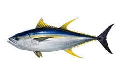
Warm-water years bring yellowfin tuna, wahoo, and marlin into the local rotation.
Regulations
The Anacapa Island State Marine Reserve was established in 2003 and covers 11.55 square miles along 3.1 miles of north-shore coastline, with all take prohibited. The adjacent Anacapa Island State Marine Conservation Area covers another 7.30 square miles with a 2.2-mile shoreline span. Charter captains run outside both.
Getting there
US 101 (the Ventura Freeway) is the city's main artery, and California 1 (Pacific Coast Highway) connects south toward Malibu. Mean temperature runs 61°F with 15.62 inches of annual rainfall and roughly 300 sunny days a year — effectively year-round fishing.